
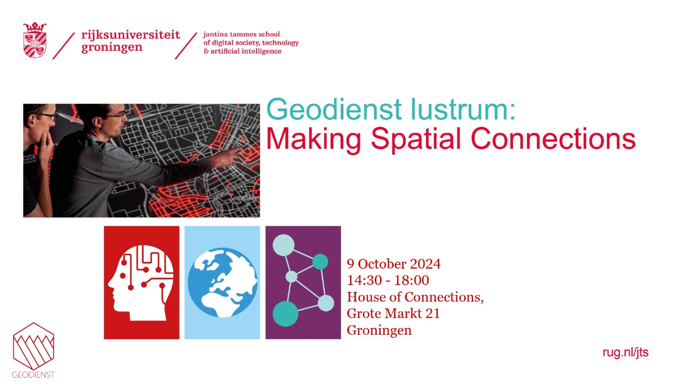
Geodienst lustrum: Making Spatial Connections
What started as an experiment, quickly turned into a precious partnership for research and education. After ten years of digital innovation, analysis and mapping, we are eager to see the results of our work. What did we do to help accelerate university-wide research? And what is yet to come?
We have arranged a multidisciplinary programme with inspiring keynote speakers, an information market you do not want to pass up, and of course a lot of maps.
Due to the increase in the use of IT and digital aids, we are proud to announce our lustrum in collaboration with our partner: the Jantina Tammes School of Digital Society, Technology and AI.
Will we also see you on 9 October during the Geodienst lustrum?
Programme
|
14:30
|
walk in with coffee & tea (will be served during the whole event)
|
|
14:40 |
Opening
|
|
14:50 |
'To boldly geo', 10 years of impact, by Paul Haan |
|
15:00 |
Keynote: Prof. Jutta Bolt (Faculty of Economics and Business) |
|
15:30 |
Julia Munuera-Garcia (PhD student University College Groningen) |
|
16:00 |
Michael Wilkinson (Faculty of Science and Engineering) |
|
16:30 - 18:00 |
Information market & drinks
|
Topics
Historical Maps Health and Institutional Inequalities Africa (Prof. Jutta Bolt)
How can historical maps shed light on the major geographical inequalities that exist in Africa today? By focusing on two key areas - inequalities in access to health care and inequalities in political development - we show how historical maps can reveal these inequalities and their evolution over time.
Digitising historical maps not only gives us a good understanding of how geographical patterns came to be, but also allows us to link those patterns to underlying factors, which cannot be systematically mapped without GIS software. The knowledge and services of the Geodienst are crucial in this process, allowing large-scale mapping of patterns that shed new light not only on the emergence of geographical inequalities but also on which factors are important in addressing inequality.
Searches in satellite imagery at large scale (Michael Wilkinson)
With increasing resolution of satellite imagery, datasets are becoming larger and larger, and there is a threat of a shortage of computing power to quickly map damage e.g. in the event of disasters. Fast, scalable algorithms are then required to cope with the deluge of data.
Deel dit op Facebook LinkedIn